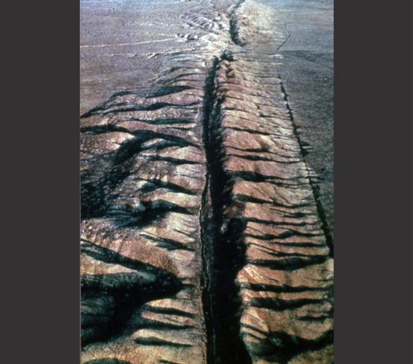
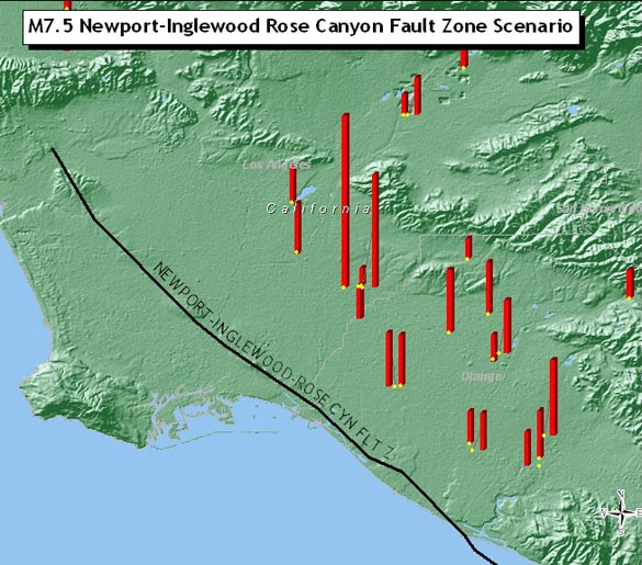
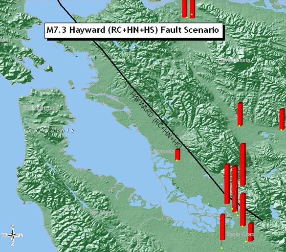
Portfolio seismic risk evaluations for groups of geographically-dispersed properties require a unique understanding of how seismicity affects entire seismic regions. AERA, our proprietary in-house developed loss estimation software, provides aggregate portfolio losses for relevant “fault-based” and return period-based scenarios as well as probabilistic loss estimates. From experience, we have found the most meaningful loss estimates are those derived from “fault-based” earthquake scenarios. Recognizing that earthquakes are discrete real-world events, AERA undertakes earthquake simulations occurring on all causative earthquake faults within a seismic region. Consistent with our deterministic approach to loss estimation, we are able to directly incorporate the findings of individual single-property SRA reports to construct a portfolio-wide damageability profile capable of considering both property damage and business interruption losses. By summing the loss estimates for each of the individual earthquake simulations in dollar terms in a statistically-appropriate manner, AERA ranks all the simulated earthquake scenarios to identify the “worst case” scenario, both on an expected and upper-bound basis.
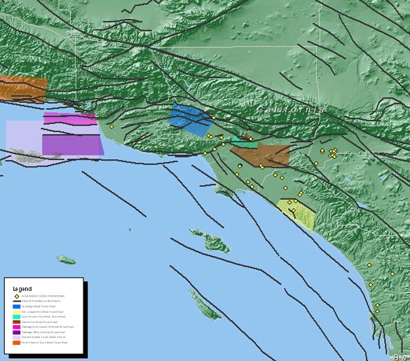
Using powerful Geographical Information System (GIS) mapping software, region-wide maps are generated that allow the User to visualize and grasp the geographic dispersion of the portfolio and the resultant seismic risk concentration. Such results allow our clients to monitor their seismic risk concentration and to obtain appropriate levels of earthquake insurance to insure against the postulated “worst case” earthquake scenario.